
Fast, affordable Internet access for all.


It's strange to see the FCC continually patting itself on the back for releasing a new national broadband map. Spend just a little bit of time with it, and the cracks and holes quickly show themselves. This week on the podcast, Christopher is joined by Christine Parker, Senior GIS Analyst at ILSR, and Alexis Schrubbe, Director of the Internet Equity Initiative at University of Chicago. They do a deep dive into the many, many problems that persist - from bad ISPs claiming service to locations where they have no presence, to missing locations, to the mountain of work the FCC has offloaded onto the rest of us in fixing a map that it paid a lot of money to assemble.
Christopher, Alexis, and Christine also untangle the ongoing challenge process for unserved, underserved, and served locations, and the timeline that states have in preparing to subgrant hundreds of millions in BEAD dollars starting in 2024. It's not all bad news - they end the show by talking about what state broadband offices, individuals, nonprofits, and others can do to band together, find good partners, and make sure their community gets counted in our national broadband service census.
This show is 38 minutes long and can be played on this page or via Apple Podcasts or the tool of your choice using this feed.
Transcript below.
We want your feedback and suggestions for the show-please e-mail us or leave a comment below.
Listen to other episodes here or view all episodes in our index. See other podcasts from the Institute for Local Self-Reliance here.
Thanks to Arne Huseby for the music. The song is Warm Duck Shuffle and is licensed under a Creative Commons Attribution (3.0) license.
*In partnership with Broadband Breakfast, we occasionally republish each other's content. The following story by Broadband Breakfast Reporter Teralyn Whipple was originally published here.
South Carolina’s innovative state broadband map can accurately identify areas of over-reporting by Internet service providers (ISPs), the director of the state’s broadband office said in a recent Ask Me Anything! session in the broadband community.
South Carolina processes the same data as does the Federal Communications Commission (FCC) as it creates its broadband map.
However, it also performs audits on the ISPs to ensure they are submitting accurate data. Hence, the state can determine errors in reporting data based on where the ISP’s networks had been deployed previously and where state investments have gone, said Jim Stritzinger, director of the state’s broadband office.
Providers are required to file amended returns with the FCC in the event that South Carolina’s state broadband office flags errors in their reporting information. Errors include misreporting of technology types.
If the reporting errors are not corrected, the state will report the defaulting ISP to the FCC, said Stritzinger, a software engineer with a passion for mapping broadband in the Palmetto state.
A big flaw of the FCC’s maps is that ISPs were able to report advertised speeds, which Stritzinger said were useless.

Join us Friday, May 26, at 2pm ET for the latest episode of the Connect This! Show. Co-hosts Christopher Mitchell (ILSR) and Travis Carter (USI Fiber) will be joined by regular guests Kim McKinley (UTOPIA Fiber) and Doug Dawson (CCG Consulting) to talk about all the recent broadband news that's fit to print. They'll chat about Gigapower, Anna Gomez' nomination to the FCC, and more.
Email us at broadband@communitynets.org with feedback and ideas for the show.
Subscribe to the show using this feed or find it on the Connect This! page, and watch on LinkedIn, on YouTube Live, on Facebook live, or below.
Finding good data on broadband is hard to come by. But, it’s about to get a bit easier with a new online resource being developed by an informal group known as Broadband Commons.
Broadband Commons is a group of folks from very different backgrounds – nonprofit, industry, and academic – who work in the broadband and digital equity space and have a shared enthusiasm for making sense of messy broadband data.
Their primary mission is to make broadband data (e.g., FCC Broadband Availability data and more) accessible to all, both in terms of understanding and using the data.
Broadband Commons (ILSR’s Community Broadband Networks Initiative counts itself as a member) is excited to share a peek into the development of their guidebook: Introducing Broadband Data. This book is intended to be the “missing manual” for broadband data users — how to find the data you need, how to wield it to answer your research questions, common gotchas to look out for, and how to share your work back with the community.
They invite interested folks to share any feedback you might have as this guidebook develops – what else might be needed? If you're interested in contributing your expertise by writing a particular section, please head over to the Broadband Commons website to check out the book and sign up for an invite to the discord channel.
Updates about the project will also be posted on the website.
Header image of data graphic courtesy of www.epictop10.com on Flickr, Attribution 2.0 Generic (CC BY 2.0)
Kentucky is one of many states undergoing a baptism by fire as they jocky to take advantage of billions in historic federal broadband grants. The Kentucky Office of Broadband Development didn’t exist a year ago; now it’s tasked with identifying state broadband gaps and managing one of the most complex broadband subsidy efforts ever attempted.
All while shaking off a history of costly state boondoggles.
Kentucky officials last year announced they’d be spending more than $203 million in American Rescue Plan Act (ARPA) funds to shore up broadband access. Now they’re preparing to spend hundreds of millions more courtesy of $42.5 billion in Broadband Equity, Access and Deployment (BEAD) grants made possible by the Infrastructure Investment and Jobs Act (IIJA).
Kentucky Office of Broadband Officials have spent the last few months on a listening tour getting an earful from frustrated state residents angry about high broadband prices, spotty coverage, and sluggish speeds. Kentucky currently ranks 30th nationwide in such metrics thanks in part to monopolization by local cable and phone giants.
Like so many states, the lack of affordable, reliable broadband access was particularly notable during the Covid home education and telecommuting boom, driving a renewed interest in creative broadband deployment alternatives.
Avoiding The Sins Of The Past
Past Kentucky efforts to bridge the digital divide haven’t gone particularly well.
Two months after President Biden’s belated and long-stalled Federal Communications Commission (FCC) nominee withdrew her nomination after a year-long attack campaign against her, today at the Broadband Communities Summit in Houston, Texas, Gigi Sohn announced her next move: Sohn will serve as the first Executive Director for the American Association of Public Broadband (AAPB).
A non-profit organization formed by a group of municipal officials, AAPB’s mission is to advance advocacy efforts on behalf of publicly-owned, locally-controlled broadband networks. Since the organization first announced its formation at the Broadband Communities Summit in May of 2022, it has been working to educate federal and state policymakers who “have turned to the telecom lobby for help and are receiving biased guidance” on the community broadband networks approach, just as $42.5 billion from the Infrastructure Investment and Jobs Act (IIJA) is set to flow to state governments to expand high-speed Internet access this summer.
During a keynote luncheon at the summit, Sohn was joined by AAPB founding board members Bob Knight and Kimberly McKinley on the main stage for a candid discussion in which she reflected on the state of Internet access in the U.S. and her experience that led to her to withdraw her nomination to the FCC. Near the end of the luncheon she announced her new role with AAPB, which was greeted by a standing ovation from the hundreds of attendees in the audience.
Freedom to Choose Community Broadband Future
The announcement was followed by a press briefing where she elaborated on her vision for AAPB.
“I will be the first Executive Director of the American Association of Public Broadband. Until now, there has not been a membership-based advocacy organization that works to ensure that public broadband can grow unimpeded by anti-competitive barriers. That’s despite the success of public broadband to help places like Chattanooga and the Massachusetts Berkshires transform from sleepy hamlets to vibrant centers of economic opportunity, education and culture,” she said at the press briefing.
Geospatial software licenses and training can be a huge help to Tribes building their own broadband networks, and federally recognized Tribes can access a number of geospatial resources at no cost.
Since 2002, the Department of the Interior has held an agreement with Esri, a leading GIS software, to make licenses and training available to the Bureau of Indian Affairs (BIA) and the governments of federally recognized Tribes.
The licenses and training are administered under the BIA’s Branch of Geospatial Support (BOGS), which “support[s] Tribes’ land management projects such as irrigation, floodplain analysis, forestry harvesting, wildfire analysis, oil and gas management, and other economic analysis,” but the resources have broadband applications well.
BOGS offers free geospatial software, geospatial training, and geospatial technical assistance to more than 900 BIA employees and 4,000 Tribal personnel.

Geographic information system (GIS) resources allow Tribes to map their networks as they are built, greatly assisting with documentation. GIS can be used to document culturally or environmentally sensitive areas, which is especially relevant if Tribes are working with contractors unfamiliar with the area.
Tribes can also leverage GIS to collect their own location data, and submit this data to the FCC to improve the agency’s maps, which are notoriously inaccurate on Tribal lands. Additionally, Tribes with existing networks can use mapping resources to compile data to feed into submission reports to the FCC as the FCC’s new reporting requirements will require some form of GIS.
To be eligible for these benefits, the organization must submit an application to participate in the Enterprise License Agreement (ELA) program. The products offered through this program are provided at no cost to ELA participants.
Connect Humanity and the Appalachian Regional Commission (ARC) have struck a new $7.9 million coalition partnership they say will help deliver affordable, next-generation broadband networks to more than 50 communities across 12 Appalachian states.
The project announcement states ARC has already awarded $6.3 million via its new Appalachian Regional Initiative for Stronger Economies (ARISE) program, which is designed to help marginalized communities prepare for the more than $45 billion in Broadband Equity, Access, and Deployment (BEAD) and Digital Equity Act (DEA) funding arriving later this year.
Funding from both programs is currently bottlenecked behind the Federal Communications Commission’s longstanding and troubled efforts to accurately map broadband access. That’s been a particular problem in rural America, where fixed and wireless broadband providers have overstated real-world broadband access for the better part of a generation.
ARC data indicates that rural Appalachian communities, which stretch from New York State to Mississippi, are far more likely to have been left stuck on the wrong side of the digital divide. That’s thanks in part to telecom monopolies that either refuse to revest in lower ROI rural areas, or have failed to live up to past taxpayer subsidization obligations.
Connectivity in the region lags well behind the national average, and in 26 Appalachian counties, fewer than 65 percent of households have a broadband subscription. 88 percent of Appalachian households currently have one or more computer devices—nearly four points below the national average. Only 23 Appalachian counties were at or above that same national average, and all of them were in metropolitan areas.
Creative efforts are underway in Marin County, California to bring fiber connectivity to underserved pockets of the community and eventually the whole area. Digital Marin, currently housed within the county’s Information Services and Technology Department, is coordinating the project, and is leaning towards a municipally-owned, open-access solution modeled after Ammon’s standout network in Idaho.
Just across the Golden Gate Strait from San Francisco, Marin County is home to about 265,000 residents, as well as the Muir Woods National Monument, a County Civic Center designed by Frank Lloyd Wright, and nearly 73 miles of coastal trail. Despite largely being considered an urban county, Marin also includes suburban and rural areas with 40 percent of the county classified as protected park land.
When it comes to Internet connectivity, the area is peppered with what Marin County resident and Digital Marin Executive Steering Committee member, Bruce Vogen, calls “donut holes of high-quality Internet access.” An unknown provider built a DSL network in the region many years ago and then Comcast later bought and inherited the antiquated infrastructure. Soon after, AT&T entered the market but selected only the most profitable neighborhoods to serve. All 90,000 of the county’s urban households can access the Internet through Comcast, but just 20,000 of these homes have access to the archipelago of AT&T’s fiber network. In any case, Marin’s urban areas are either subject to monopoly or duopoly market control. It has long been apparent there is a digital divide in Marin County, but it wasn’t until the 2022 FCC maps were released that the contours of this divide came into focus.
It’s not too late to register for our first Building for Digital Equity (#B4DE) livestream event of the year. This Thursday, Feb. 16, from 2-3 pm CST/3-4 pm ET, ILSR’s Community Broadband Networks Initiative will kick off our Building for Digital Equity series.
The focus will be on two of the hottest topics in broadband right now: mapping and the Affordable Connectivity Program (ACP).
Promising to bring more light than heat, co-host Christopher Mitchell, Community Broadband Networks Initiative Director, will be joined by co-host Kim McKinley, Chief Marketing Officer with UTOPIA Fiber – our sponsor for this year’s series. We are calling this one Building for Digital Equity: Why is Everyone Badgering the FCC?
You can register here.
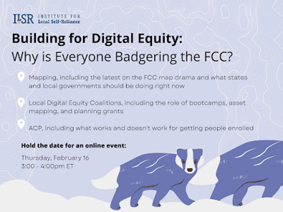
The event will give an overview of the FCC’s new broadband map and make clear what has been confusing and convoluted for those who have been working to fix the multitude of inaccuracies the map contains through the challenge process.
Our expert guests will break down the difference between fabric and location challenges and availability challenges and how those challenges may, or may not, affect how much each state will receive from the $42.5 billion Broadband Equity Access & Deployment (BEAD) program embedded in the bipartisan infrastructure bill.
Our GIS and Data Visualization Specialist Christine Parker will review helpful mapping tools, which will be followed by a Q&A with audience members.